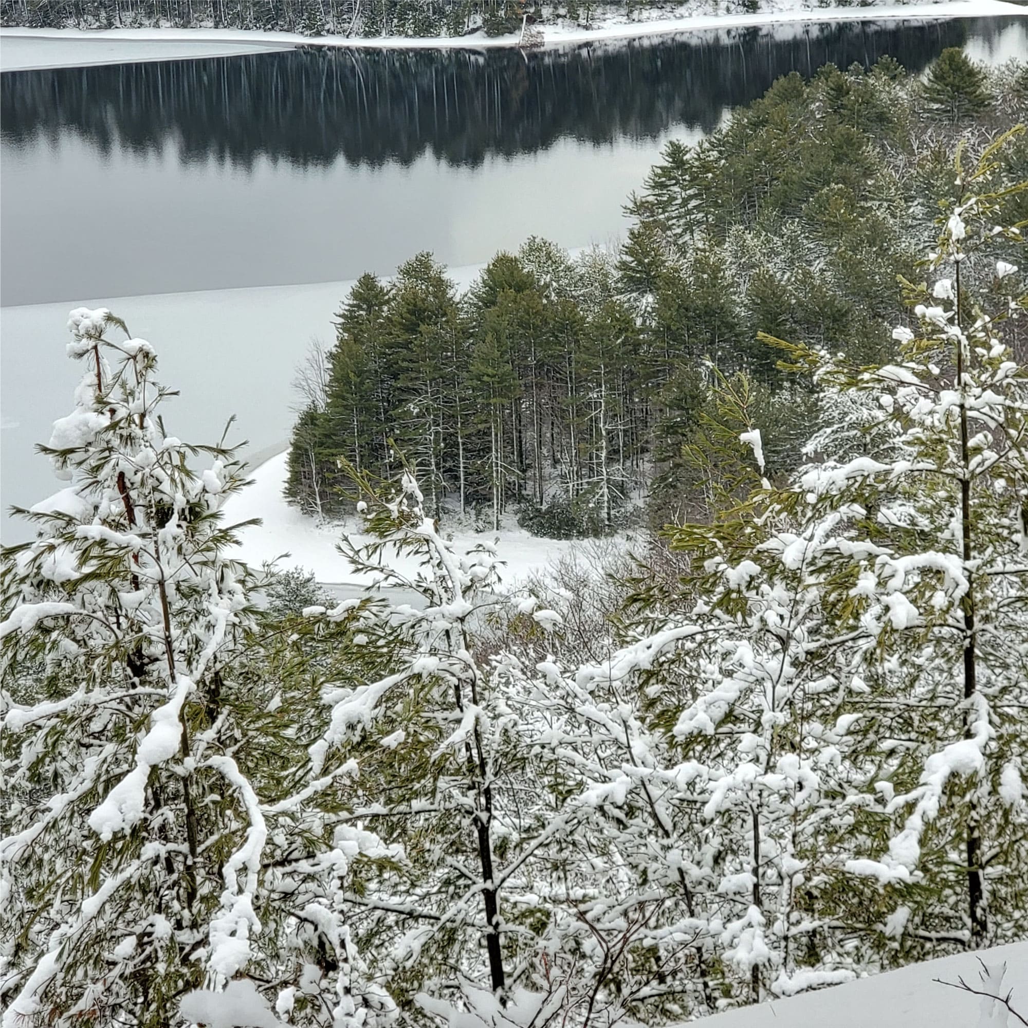
Quabbin Reservoir
Location: Belchertown, MA
Activity: hiking
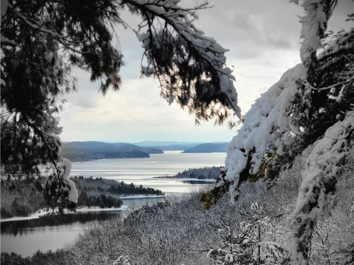
The Quabbin Reservoir is the largest inland body of water in Massachusetts. Along with the Wachusett Reservoir, it is the primary water supply for the greater Boston area. The reservoir was constructed between 1930 and 1939 and was named for nearby Quabbin Hill (Enfield, MA) and Quabbin Lake (Greenwich, MA). Quabbin is from the Nipmuc word meaning "place of many waters" or "meeting of many waters".
The Quabbin Reservoir was formed by inundating the Swift River Valley, a process that took over seven years. The water submerged roads and swallowed all but the peaks of nearly 60 hills and mountains, while transforming Prescott Ridge into Prescott Peninsula. The Quabbin Reservoir was full, for the first time, in June 1946.
The area is serviced by a visitor center, located south of the reservoir, which includes an observation tower and lookout. This area – called Quabbin Park – is accessible by car from the south using State Route 9. The park is a popular spot for hiking and other outdoor activities.
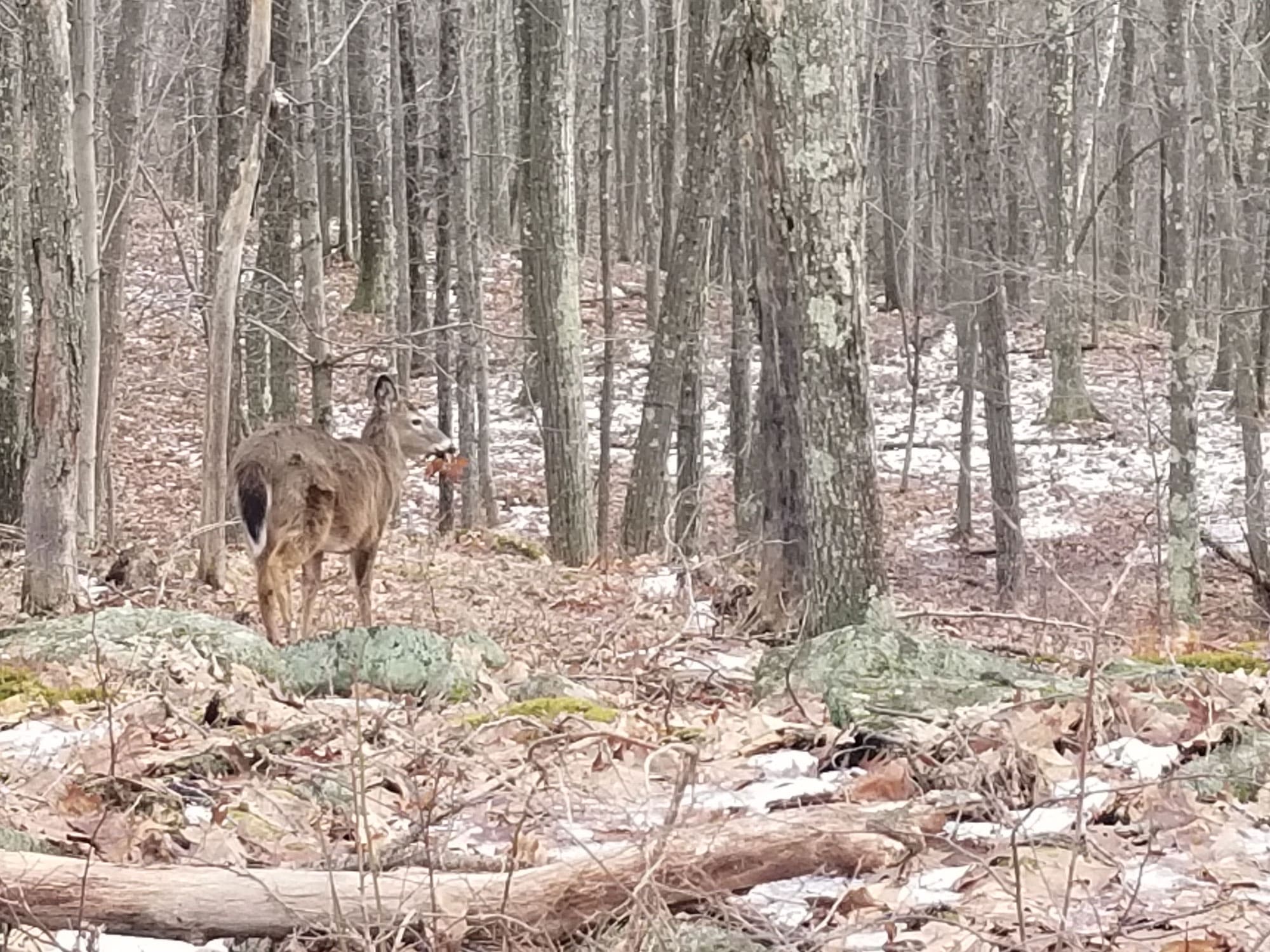
The area around the reservoir supports a great variety of wildlife and has been the focus for re-establishment of several species in Massachusetts. Bald eagles, loons, moose, deer, coyotes, black bears, foxes, and bobcats thrive here.
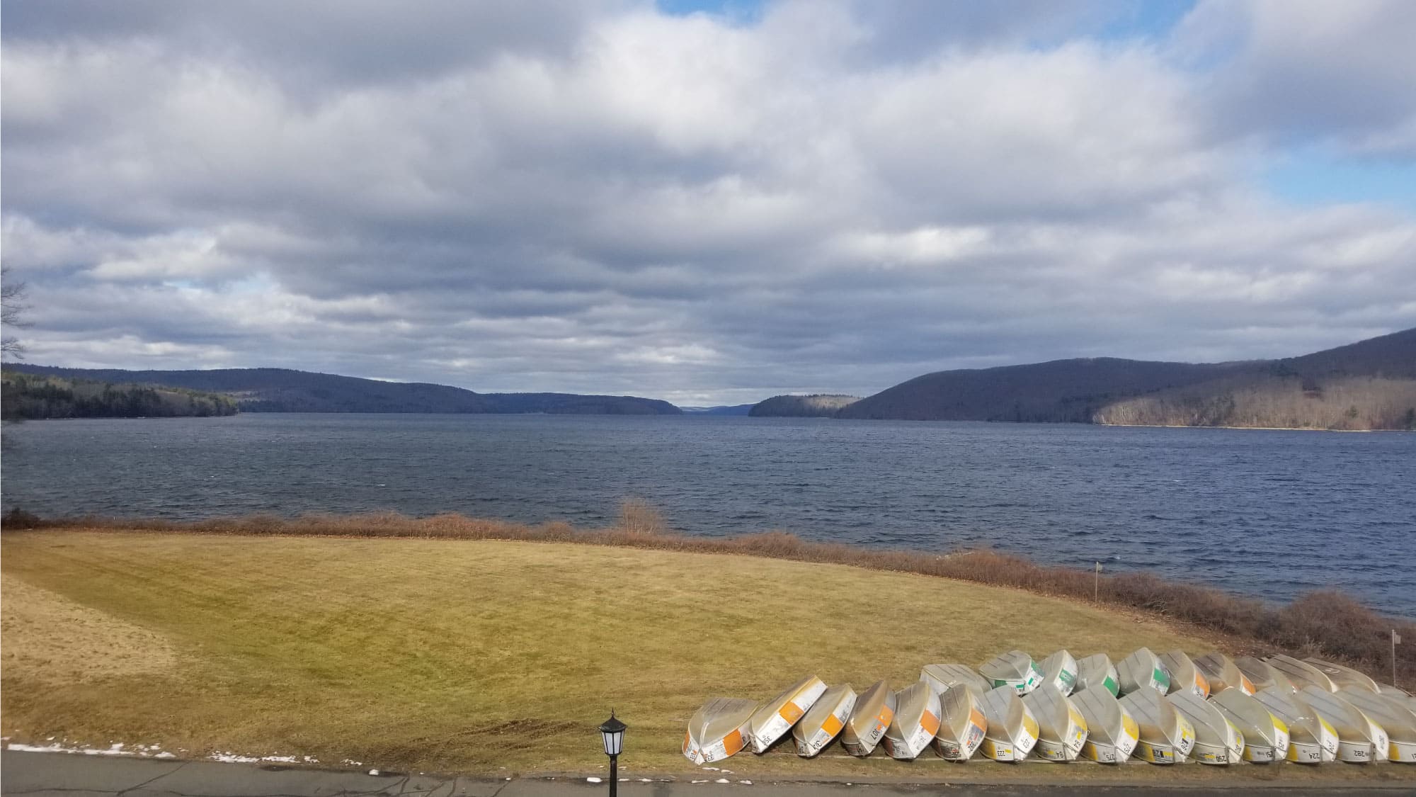
Fishing is allowed in designated areas. Three boat launch areas are available. Private boats must be cleaned to prevent the spread of aquatic invasive species. Source: Wikipedia.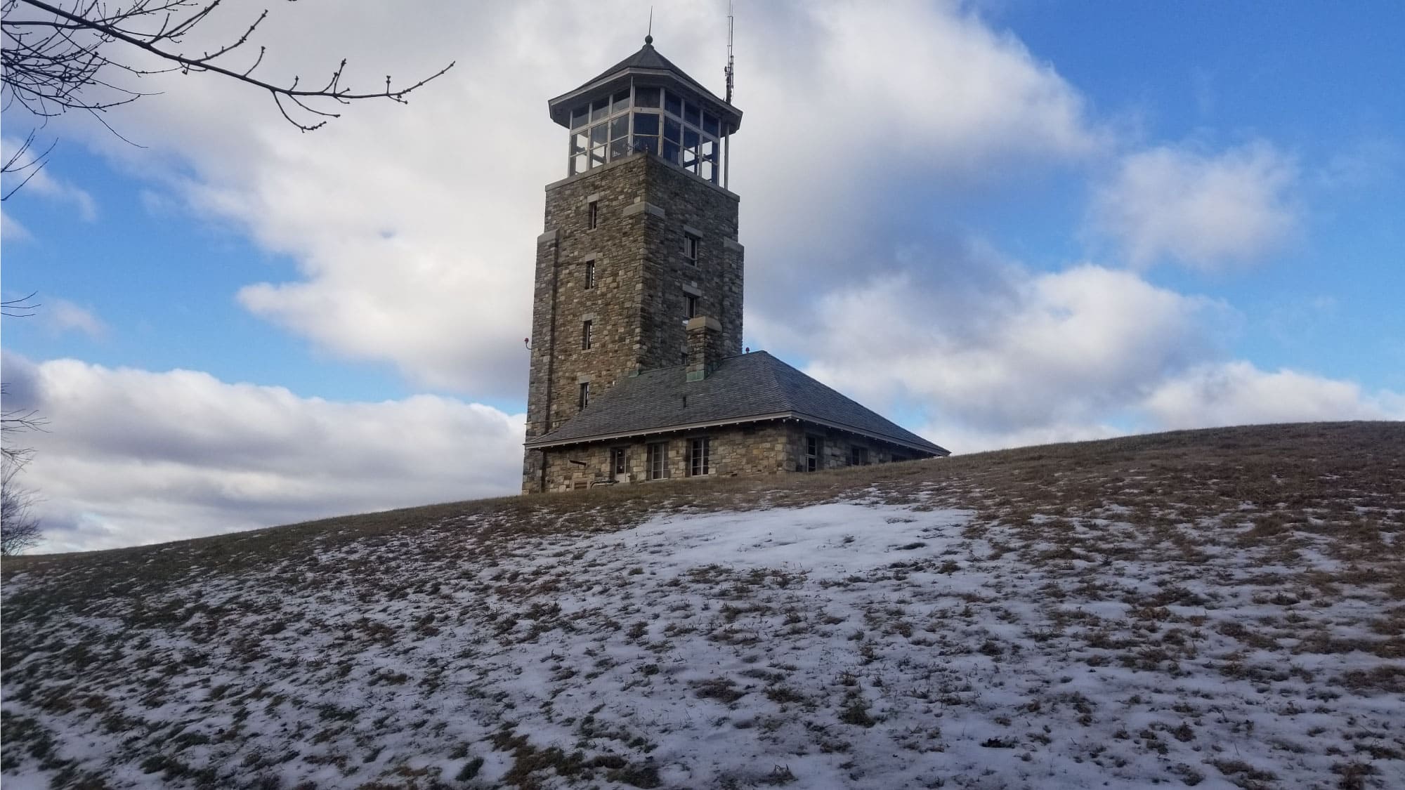
NANCY RAPISARDA
NANCY RAPISARDA