Hiking Committee
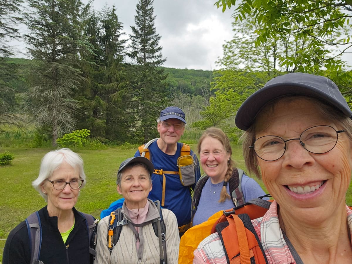
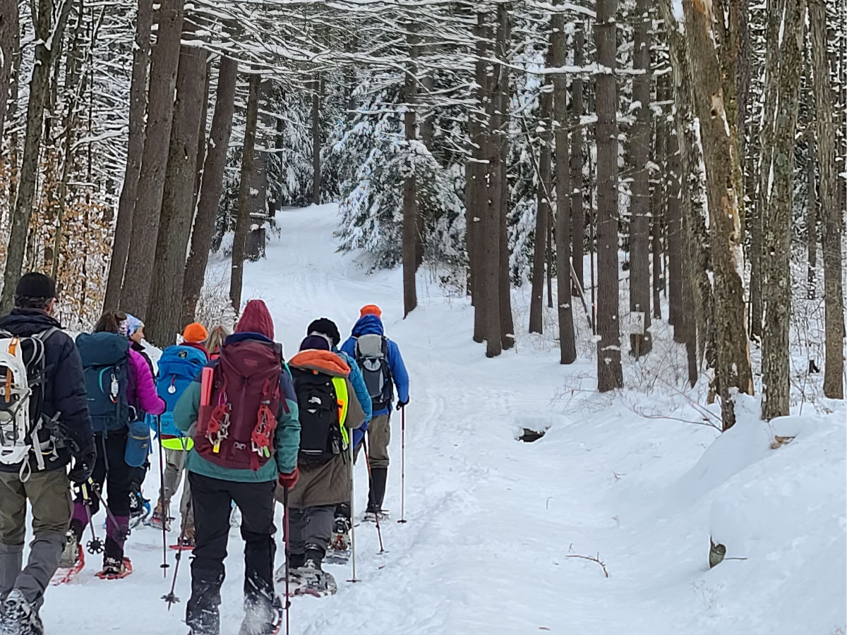
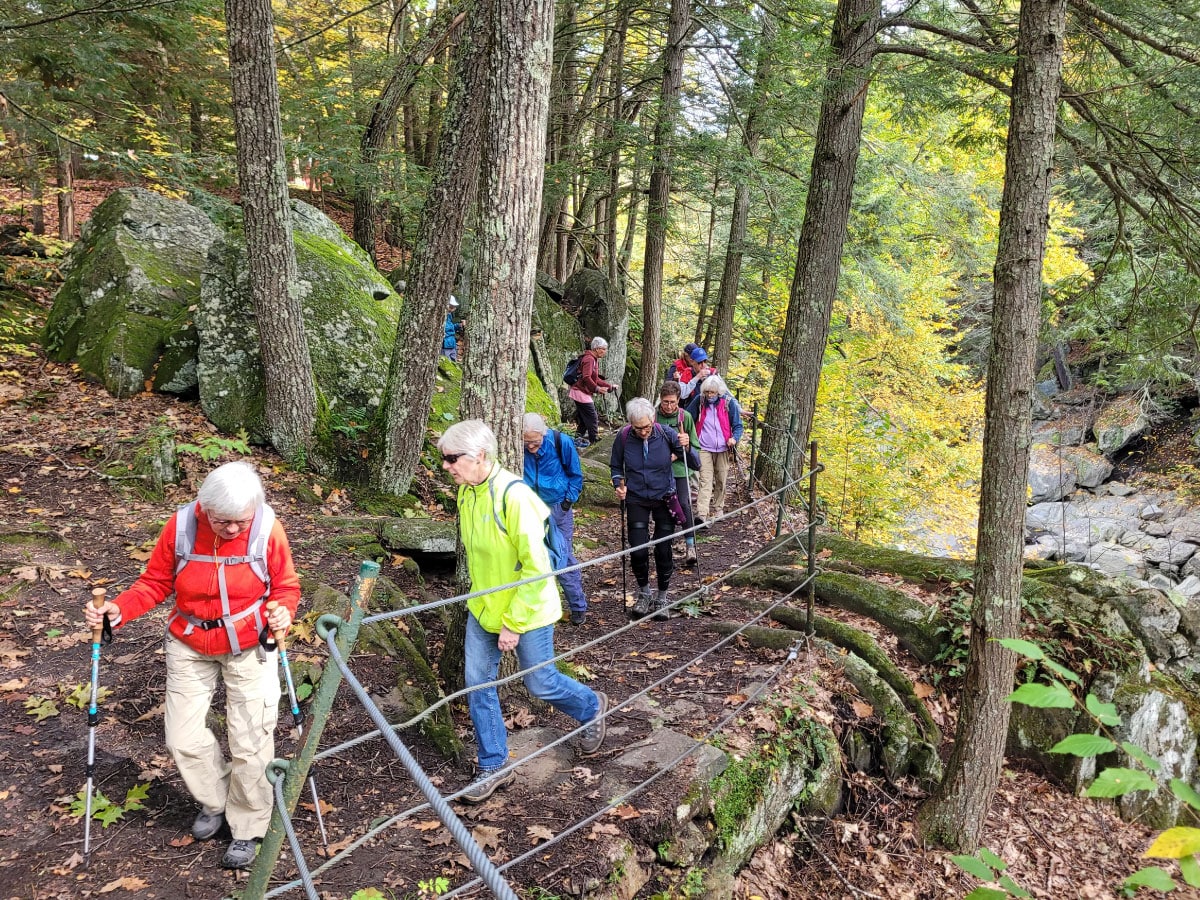
The Hiking (formerly Outings) Committee organizes general, non-technical events such as hiking, cross-country skiing, snowshoeing, and backpacking trips. We have a very long list of hiking trips. Most hikes occur on weekends, but we do have a tradition of Tuesday hiking trips as well. Check out our schedule!Thanks to the leaders for leading this hike - what beautiful snow-covered scenery and that view of Quabbin was amazing! – Nancy
Thanks to the leaders for leading this hike - what beautiful snow-covered scenery and that view of Quabbin was amazing! – Nancy
Joining a Hike
Please read the AMC Trip Policy (PDF) before joining a trip. Be sure to bring lunch and liquids, bug repellant and sunscreen, and clothing and footwear appropriate to the conditions. When car-pooling, please offer a contribution to the driver for fuel costs. To find out more about a scheduled hike or to sign up, contact the leader, coordinator, or other person listed for that trip.Upcoming Activities
Click or tap on the Register links to learn more and/or register for activities.
New Member Hike at Chesterfield Gorge
This hike at the Chesterfield Gorge is designed to give new members a chance to get outdoors, meet fellow members, learn more about AMC, and receive an introduction to group hikes. The hike will be led by two AMC-trained leaders and an AMC staff member. While this hike is designed for new members, all are welcome.Dunbar Brook Old Growth Forest & Waterfalls
Join us for a rewarding hike through one of the hidden gems of Monroe State Forest. This challenging 6.8-mile loop begins with a steady climb of Raycroft Rd to the ridge before descending the scenic Dunbar Brook Trail through one of Massachusetts' finest old-growth forests. Along the way, we'll experience towering hemlocks, massive moss-covered boulders, cascading waterfalls, and the rushing waters of Dunbar Brook.AT Hike Series 2026 Section 13
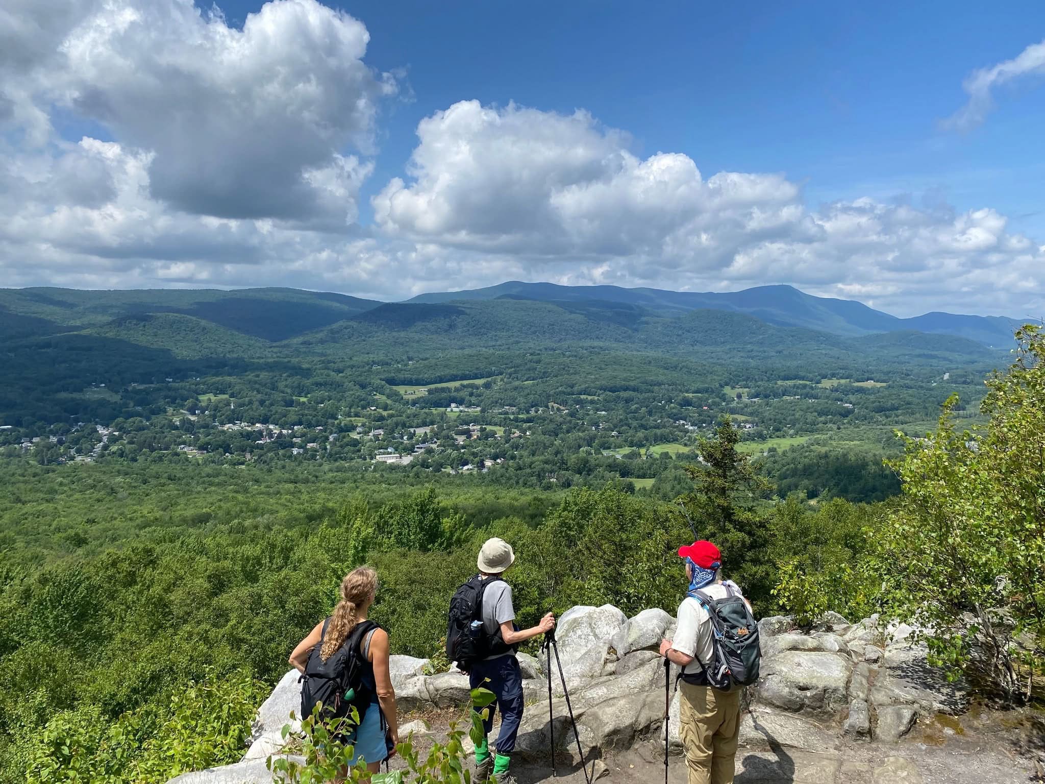
Section 13: Summit of Mt Greylock to Rte 2/State Rd, North Adams (6.3 miles). Elevation change: 2800 ft. Rain date: Sunday, August 9, 2026. This northernmost section of the MA AT features a long, steady descent from the summit of Mt Greylock (3,491 ft) to the valley below. The trail first descends toward Mt Williams, offering occasional viewpoints, continuing past the Wilbur Clearing Shelter, thence on to Mt Prospect, another scenic ridge along the route. The trail descends steeply past the Mt Williams Reservoir. As the trail nears North Adams, it transitions from the forested ridges to more developed terrain, following Phelps Avenue to Rte 2 (State Road), where there is an AT trail parking area.Keystone Arch Bridges Trail Hike
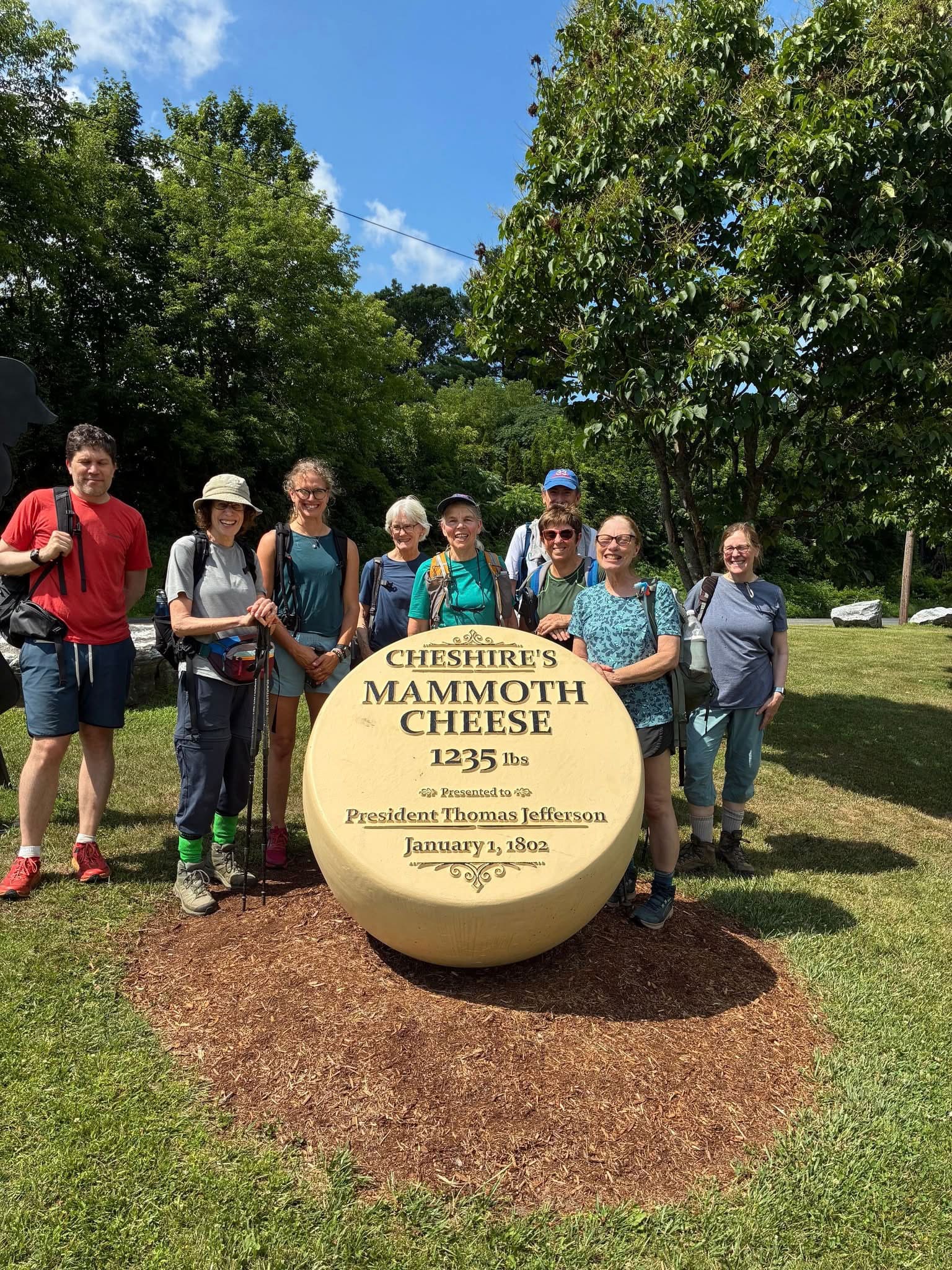
Come join me on this out and back 5-mile hike on the Keystone Arch Bridges trail in Chester which follows the West Branch of the Westfield River and will bring us to four of the historic Keystone Arch Bridges, the first series of stone arch railroad bridges built in the U.S. These magnificent bridges, reaching heights of up to 70 feet, were built in the 1930s and some of them are still in use. We may be lucky enough to see a train pass by!AT Hike Series 2026 Section 14
Section 14: Rte 2 to VT border (8.2 miles). Elevation change: 1760 ft. Rain date: August 16. This section marks the transition from MA to VT with a challenging but rewarding ascent. Beginning at Rte 2, the trail climbs steeply through dense forest, passing the Sherman Brook Campsite. As it winds through Clarksburg State Forest, the path offers a mix of rugged terrain and shaded woodlands before reaching Eph's Lookout, a scenic viewpoint with expansive vistas. The journey continues to the Vermont border.Pioneer Valley From Above - Mt. Tom Historical Hike
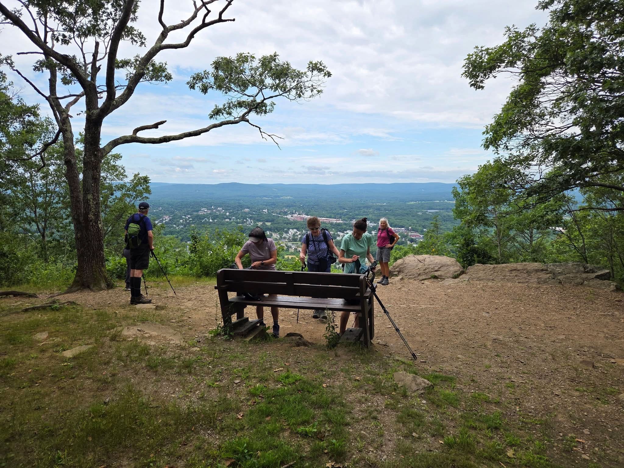
Join AMC Staff on a hike up Mt Tom via the New England Trail! We will stop at viewpoints along the way and talk about the history of the Pioneer Valley region, the New England Trail, Mt Tom, and more! This will be a ~4 mile out-and-back hike from the Mt Tom Upper Pavilion, with about 950 ft of total elevation gain.Northfield Mountain
Please join us as we hike Northfield Mountain to the reservoir and enjoy the extreme views to the west. The trails are open in the summer months for a variety of uses such as mountain biking and horseback riding, but we will stick to the hiking trails completing approximately a five mile loop, on moderate terrain, with 1200 feet of elevation gain.Holyoke Revitalization Tour
Discover how a city originally designed as an industrial mill town is being reimagined. Visit innovative businesses and developers that have - and are continuing to - put new life into old buildings. Building owners provide guided tours. Easy walking tour, 1.5-2 miles, ends at Choo Choo's restaurant.Holyoke's Historic Canals and Dam Tour
Join the park interpreter for a 2-hour walk along Holyoke's canal system. Explore the history of this fascinating planned industrial city. Tour starts with a bit of historical background. Along our route see headraces, tailraces, intakes, a Boyden Turbine assembly, flywheels, and get an eyeball tour of the Holyoke dam complex. Maps of the canal system are available. Distance: 2.0 miles.[Women+] Connecting Women, Connecting With Nature
Women, please join the AMC Western MA Chapter's 5th annual Connecting Women, Connecting with Nature, women's only, weekend retreat at Horace A. Moses Scout Reservation in Russell, MA. (on the Russell Pond not far from Noble View). We have scheduled a variety of traditional and non-traditional outdoor pursuits in the hope of attracting women to the joy and rejuvenation of the outdoors.Activity Schedule
All activities are subject to cancellation due to poor weather conditions. Check activities on outdoors.org for up-to-the-minute additions not yet shown here. Not all activities may be posted yet.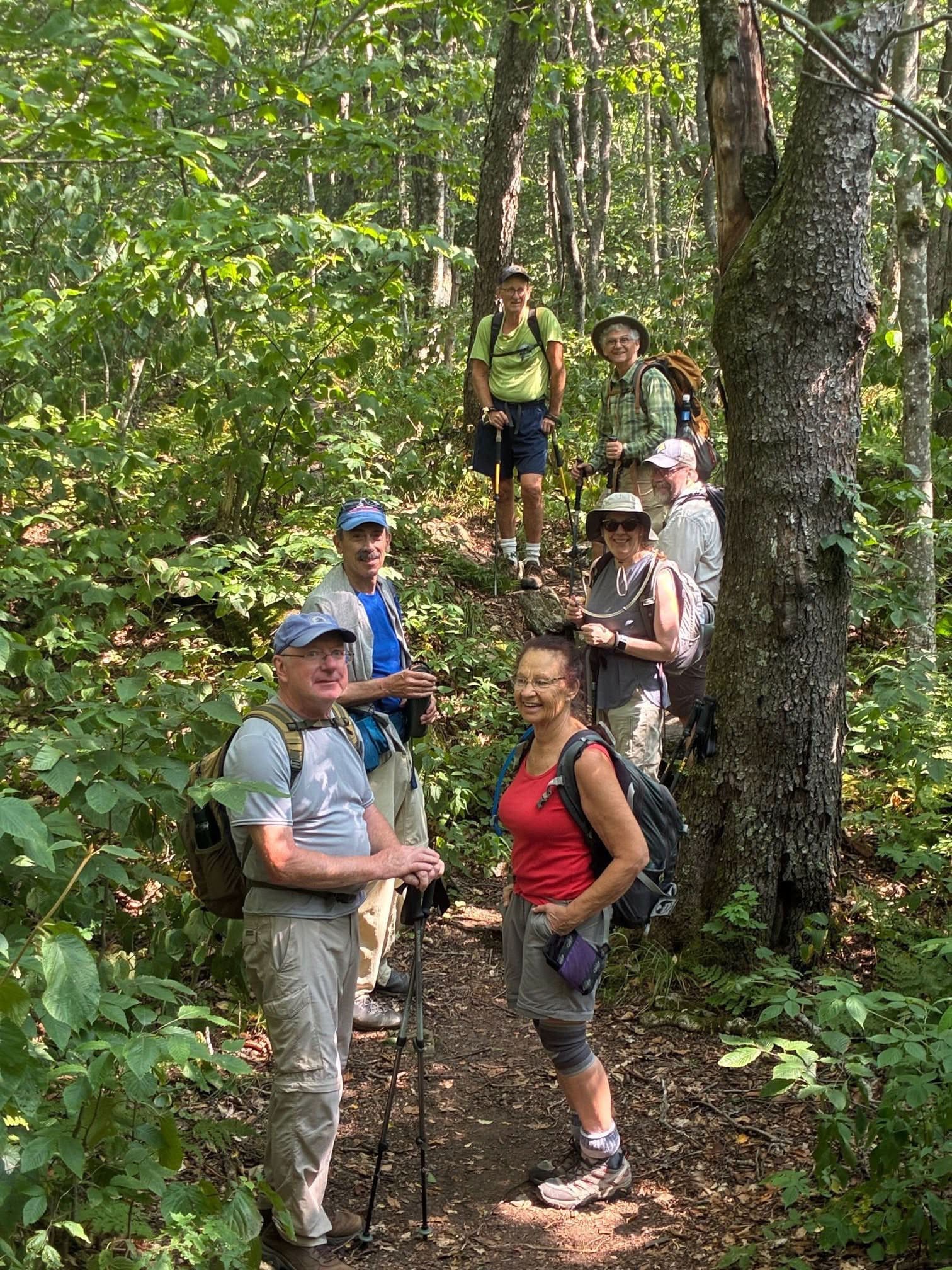
LANI GIGUERE
JEANNETTE PIERCE
COMMITTEE HIGHLIGHT
AMC 150 Hikes
Since 1876, AMC has connected people to the outdoors through recreation, education, and conservation. In 2026, we celebrate 150 years of that legacy with the AMC 150th Relay — a 1,500-mile journey from VA to ME. Each leg of the relay contributes to a continuous route across the Northeast, showcasing the diversity of AMC's outdoor legacy. The Western MA Hiking Committee has 8 trips to choose from. Find them on our activities page.Resources
- Hiking »Contact our committee
- AMC Trip Policy (PDF) »Information for participants
- AMC Activity Rating System »Difficulty levels for hiking, backpacking, and trekking
- Western MA Chapter Winter Hiking Gear List I (PDF) »Track I gear list for beginners to intermediates
- Western MA Chapter Winter Hiking Gear List II (PDF) »Track II gear list for intermediates to advanced
- Becoming a Trip Leader »A step-by-step process
- Tuesday Hikers Group »Outings in western MA every Tuesday
- Beginner Resources »The basics for newbies
- Massachusetts Trail Guide »A stunning variety of hiking trails